
Here’s how it works cyclists (everybody): In this case, BB takes a photo and you try to unravel two mysteries:
- Location of the mystery site; and,
- Approximately how many motorized vehicle-free miles one could walk/cycle IF only they knew through a wayfinding sign, because there such as hell isn’t such a sign.
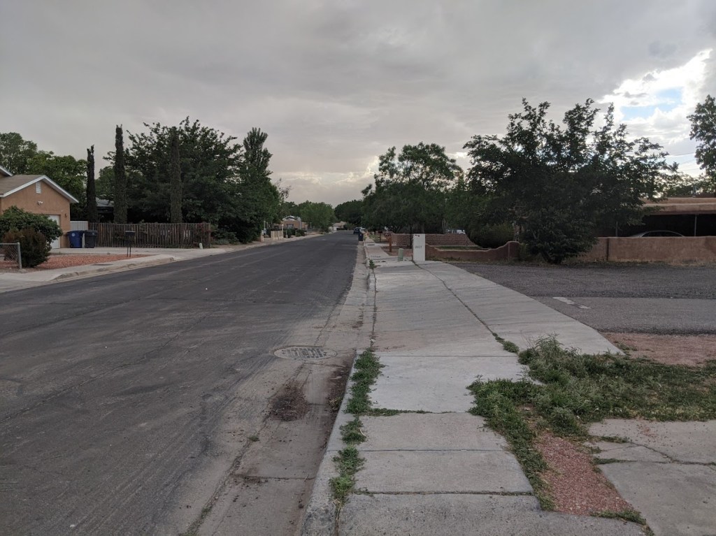
Hint: Your humble blogger has cycled west here many times, riding right past when one should turn, because…no sign.
Throw your answer to Question #1 in the comments below (apologies for the irritating WordPress commenting “feature”) or via one of BB’s many social media subsidiaries. In answering Question #2, you are encouraged to expand on how great ABQ walking/cycling can be if one knows the “secret” routes that are secret because there’s no goddamn sign.
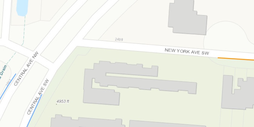
Answer to Mystery Game #1: Yes, that’s the vague, pitiful end of New York Avenue (History trivia tidbit: Did you know Lomas used to be named New York?) at Central. Several readers got Question #1 right, and answers to Question #2 (How does a cyclist keep going east, west, north from this point?) trended toward “You don’t.”
Not to disagree with those answers to Question #2, but as a public service to those not totally averse to riding on the sidewalk, here’s how you get further west/north from this point.
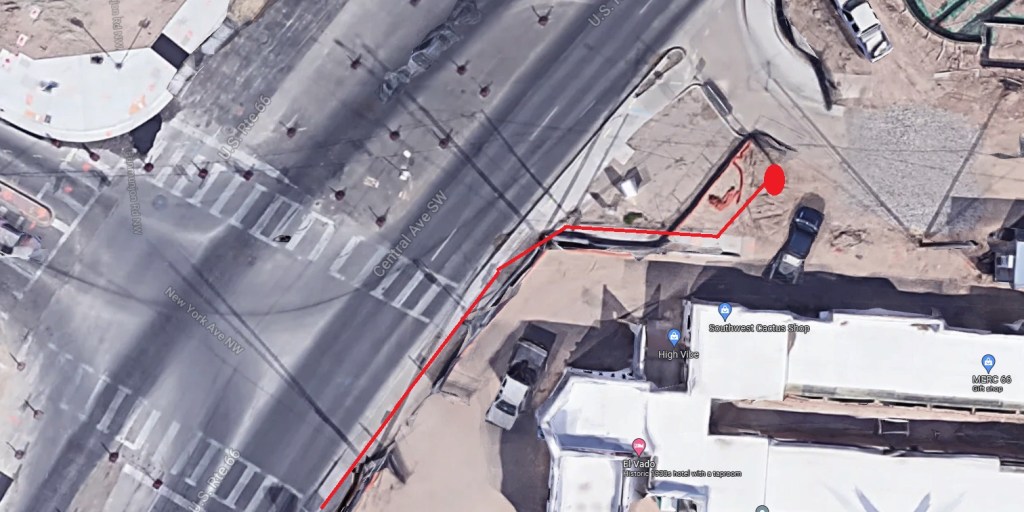
At first I wasn’t going to use Google Streetview’s aerial shot, as it’s from the A.R.T./El Vado construction days, but decided it’s funnier this way. Navigating the sidewalk travel show in red above is tricky, as you have to guess which sidewalks lead to curb ramps and which just lead to curbs. Not shown here is that you can catch a HAWK signal further southwest on Central at the Bio Park.
Be sure to use that HAWK early and often, as the joy in making drivers stop does help to slightly diminish how irritated one feels having been forced to ride the sidewalk because the city spent around $100 million dollars on A.R.T., yet failed to spend what would have probably been the measly 3,000 bucks or so needed to complete New York/Central connectivity.

[…] Looking back at edition #2 of our gamification of nonexistent ABQ wayfinding signage… […]
LikeLike